


Sportsmen ask county to allow rifles for big game hunting
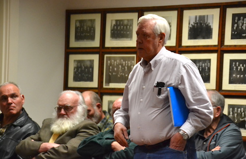
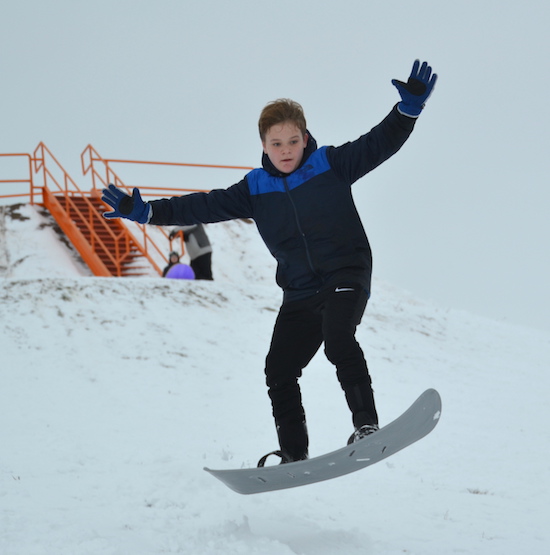
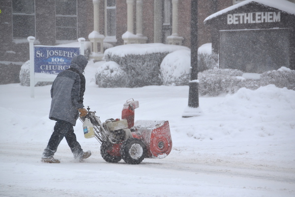
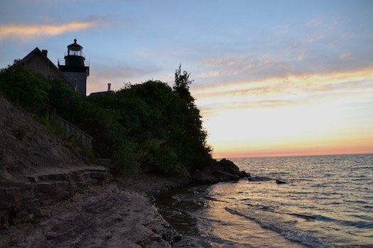
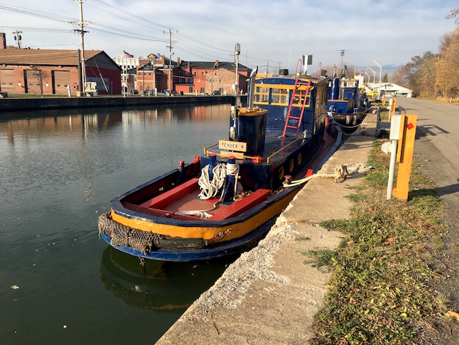
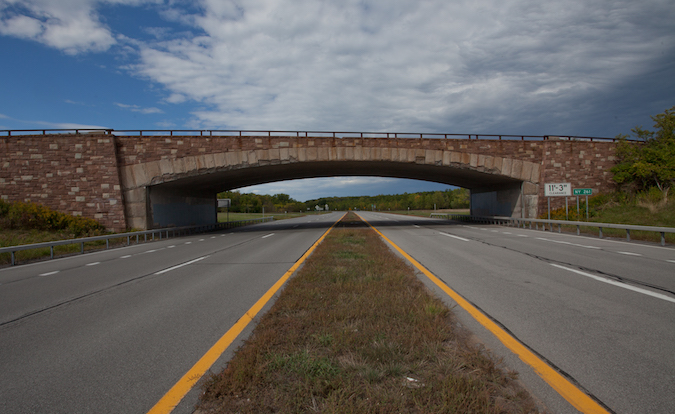
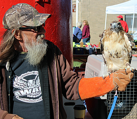
Photo by Tom Rivers: Neil Newton, a member of the Orleans County Sportsmen Federation and NYS Conservation Council, favors allowing rifles for hunting deer and bears.
ALBION – Orleans County legislators are being asked by sportsmen to allow rifles for big game hunting – deer and bears.
County legislators were told by Sportsmen Club leaders on Wednesday that 41 out of 62 counties, including counties with more residents than Orleans, allow rifles for hunting.
Mike Elam, treasurer of the Orleans County Sportsmen Federation, presented the Legislature with a petition signed by about 500 people, supporting center-fire rifles for deer hunting.
“As the times change so does technology,” said Jeff Atwell, president of the Barre Sportsmen Club.
He believes rifles are safer than shotguns, because hunters with rifles tend to use only one bullet. With shotguns, Atwell said hunters will often take multiple shots and slugs can “bounce.”
Terry Williams of Carlton, a hunting instructor for 40 years, also favors rifles for hunting. “You’re not overshooting,” he told county legislators.
Sportsmen leaders said studies have shown that rifles are safe for hunting deer and bears.
“The facts clearly support the passage of this proposal and the history of safety across New York with counties with far greater populations than Orleans County fully support it,” according to written comments from Michael Van Durme, a retired chief conservation officer for Region 8 of the DEC.
Van Durme’s career as a conservation officer included seven years in Orleans. He now manages a consulting company that specializes in hunter and firearms safety. He testified in favor of rifles for deer hunting when Genesee, Livingston and Ontario counties discussed the issue – those counties ultimately voted in favor of it.
He said hunting is much safer now than in the 1960s, when there were 19 incidents per 100,000 hunters. Now it’s 4.3 incidents per 100,000, he said.
Rifles are currently used in Orleans County to hunt smaller animals, with no injuries to hunters or the public, Van Durme said.
“Center-fire rifles are used almost all year long in Orleans County to hunt woodchucks, foxes, crows and coyotes, and there has never been a case of a bullet traveling miles from their target and hurting anyone,” Van Durme said in his written comments.
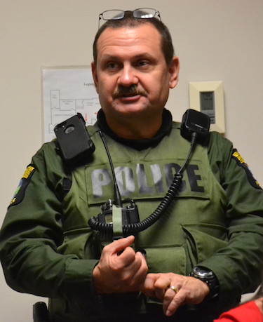
Paul Kroth, conservation officer, says he will enforce whatever laws are on the books. Ultimately, he said hunters are responsible for their shots.
Paul Kroth, a conservation officer in Orleans County, said whether or not rifles are allowed for deer hunting in Orleans, hunters still need to practice basic safety standards, such as identifying their target and knowing what is beyond it.
Some spots in Orleans aren’t appropriate for rifles, Kroth said, because roads and houses are too close by.
“Hunters, they’re still responsible for where their round goes,” Kroth said at a packed Legislature meeting. “There are a lot of smaller blocks where a rifle would not be appropriate.”
Hunters who use poor judgement and injure or even kill someone can face charges from reckless endangerment to manslaughter, Kroth said.
“We are going to enforce the law no matter which way you decide,” Kroth told the seven-member County Legislature.
David Callard, the Legislature chairman, said the group will continue to discuss the issue. He said the county doesn’t have the final say.
If the Legislature supports rifles for deer and bear hunting, Callard said local state legislators would then take the issue to Albany for a vote from the State Legislature.