


Classes will help ‘Master Your Garden’ – honeybees, vermicomposting among the topics
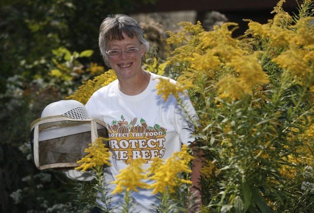
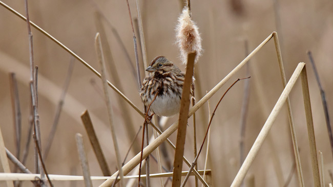
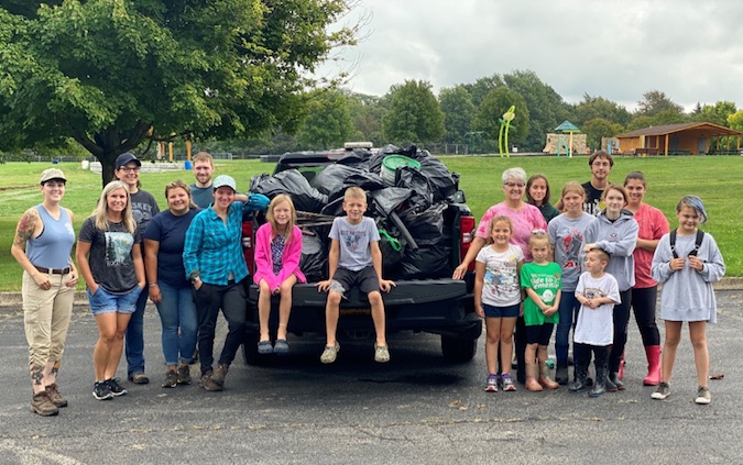
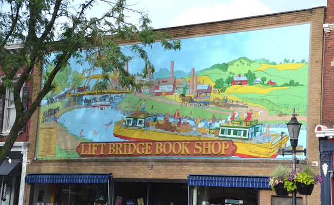
Provided photos: Geri Hens, a Master Beekeeper and environmental educator, will kick off the “Master Your Garden” series with a presentation on pollinators, focusing on native insects and other animals vital to the local ecosystem.
Press Release, Orleans County Master Gardeners
KNOWLESVILLE – Master Gardeners in Orleans County have finalized the lineup for their monthly “Master Your Garden” class series.
Like most organizations, Master Gardeners had to adapt and alter their typical event schedule the last two years due to the pandemic. Last year they launched their “Master Your Garden” series for the first time ever – a monthly class on the first Saturday of each month featuring various gardening topics and taught by Master Gardener volunteers or Extension staff.
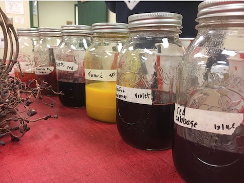
Natural dyes are the focus of the April 2 class.
The series turned out to be a success as many public participants were looking for in-person learning opportunities to support existing garden hobbies or explore new gardening niches. Master Gardeners decided to return to this style of programming for the 2022 event year and have developed a robust lineup of new topics.
“I really like this new format of offering classes for the public,” said Master Gardener Brenda Radzinski who taught a class on Roses in last year’s MYG lineup and will lead “Natural Easter Egg Dyes” in April this year. “I think the Master Your Gardener series is a more diverse style of educational outreach. It gives us the opportunity to offer a wider range of topics to those interested.”
The first class of the 2022 series will be on “Pollinators” on Feb. 5 at 10 a.m. in the Trolley Building at the Orleans County 4-H Fairgrounds. The class will feature honeybees and their native counterparts, as well as other pollinators that are vital to the life cycle of most flowering plants.
Master Gardener Chairperson Erica Joan Wanecski will open the program with an introductory presentation on “Mutualism – Partnerships in Nature,” discussing how different animals, insects and plants have evolved together in mutually beneficial relationships.
The headline presentation on “Pollinators” will be taught by Geri Hens, a Master Beekeeper, tenured environmental educator, and owner of Hens Honeybee Farm in Niagara County.
Master Gardener Jena Buckwell will lead two presentations in this year’s MYG lineup – Meet Your Mulch, and IPM for Snails and Slugs.
Initially approached to do a presentation specifically on Honeybees, Hens wanted to make sure the native pollinators that often go unnoticed received their share of attention and appreciation. Her presentation will be an in-depth conversation about the roles of insects and their habitats, the threats facing our local ecosystems, and things homeowners can do to mitigate those threats.
Hens brings decades of experience working with pollinators of all kinds, and she is backed not only by her formal credentialed training in beekeeping and environmental education but also her personal reflections from over thirty years of observing the ever-changing environment and its impacts.
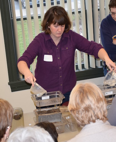
The rest of the class series will feature topics such as vermicomposting (composting with worms), selecting the best mulch for your garden, local watershed protection, native plants and more!
For the full class schedule, see the Orleans County CCE website. All classes are donation-based, community members can pay what they are able, with proceeds going to support other educational projects put together by the Master Gardeners like the returning Seed Bank project, a new Vegetable Variety Trial Garden, and tabling materials at local events.
“Our Master Gardener Volunteers are such an experienced bunch of gardeners with really varied areas of interest,” said Katie Oakes, coordinator of the Master Gardener program and Horticulture Educator at Orleans County CCE. “They aren’t afraid to try new things, and when they have successes are so willing to share their knowledge with the public. This MYG class series is the perfect outlet to extend those skills and experiences to our community members.”
For more information on this or any other Master Gardener event, contact Katie Oakes, at 585-798-4265 ext. 125 or by email at klo54@cornell.edu.

 Count compiler and Medina resident Celeste Morien would like the public to be alert for counters with spotting scopes and binoculars who will be out and about Dec. 28 on local roads, searching for birds in fields and at bird feeders.